Trails-less Traveled 5

Trout Lake Mountain Bushwhack and Chub Mt. Revisit.

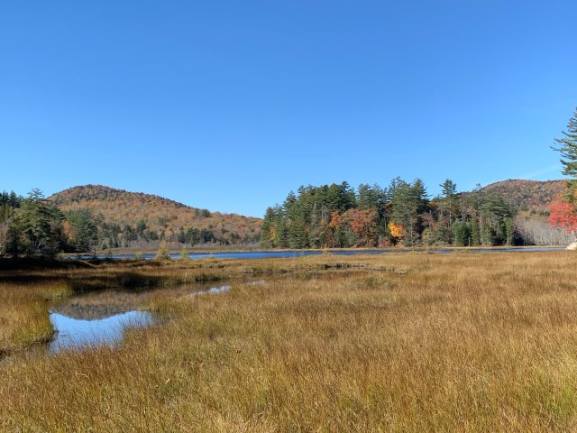
It’s been nearly two years since my last Trails-less Traveled post. After a busy week, and a busy morning, including planting and weeding in the garden, I slipped over to a favorite spot on route 10 in the Town of Arietta to hike out to Trout Lake Mt.. I have climbed many mountains in that area, and visit there often, as it is close to home. Trout Lake Mt. is visible as I travel route 10, across a wetland that runs alongside the road, and has some nice rock outcroppings that are very enticing.

The “backside” of Trout Lake Mt. Is on the right side of the pic.

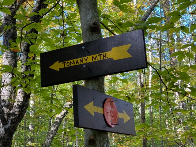
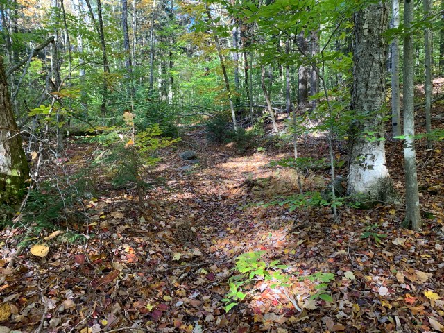
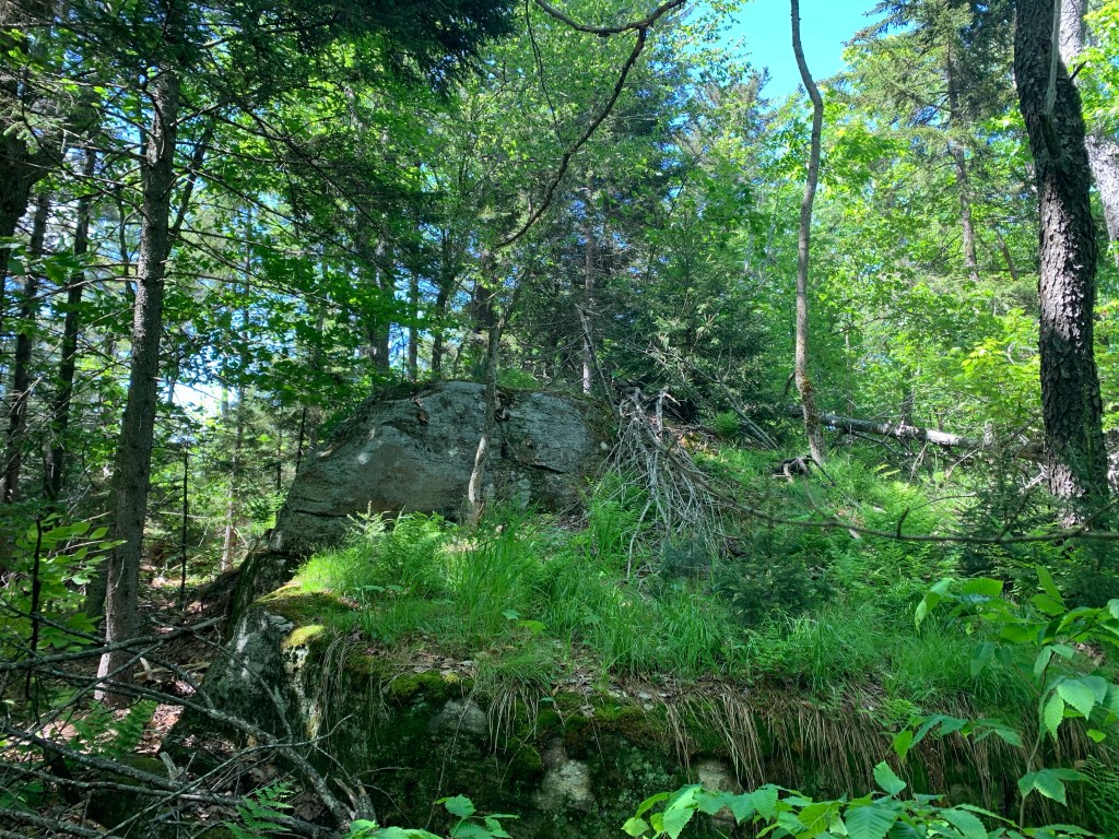
So this morning I took some bearings from my map, made a plan, had lunch, and hit the road. Having climbed several neighboring mountains, I knew the herd path out in the general direction well, and the outlet crossing where I would leave the herd path and head into the woods (see pics). While it may seem that a direct route from the Chub Mt./Lake parking area would reduce distance, having paddled that area, I know that there is a wetland and a deep, beaver infested (well, they do make their presence known), water crossing that is not possible unless one wants to swim. So out, around and up to the desired mountain I headed.

The bushwhack from the water crossing (see pics) would be 2.4 miles out and back; not a difficult distance. With a full canopy of leaves above, and everything leafed out at ground level, having the correct bearing, and a solid mental picture of the surrounding geographical features, natural backstops, and siderails to aid in direction, is vital. I chose to follow the shoulder of Sherman Mountain, then a quick drop to being the ascent up Trout Lake Mt. as the most obvious route.

I’m standing on the herd path which goes to the right, but my path is directly ahead!

Having done a quick measure of the expected mileage between points, I engaged my Fitbit at the trailhead, which allowed me to accurately gage expected arrival times to my predetermined points of travel, to include the summit of Trout Lake Mt.

The wooded high point of Trout Lake Mt.

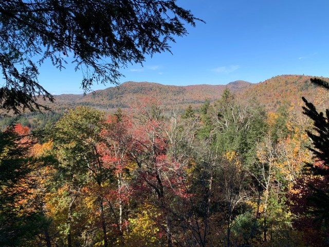
When properly done, and executed, it is amazing how accurate compass coordinates are, not surprising really, but super fun! As I approached the wooded summit of Trout Lake Mt. I could see rock outcroppings along the shoulder of the summit that looked so enticing to say, “There it is!” But no, I carried on, to the high point, confirmed with GPS. Then off to some nice lookouts facing Good Luke Mt. and Cliffs, as well as State Brook Mountain, all on the opposite side of route 10.

Looking toward State Brook Mt.

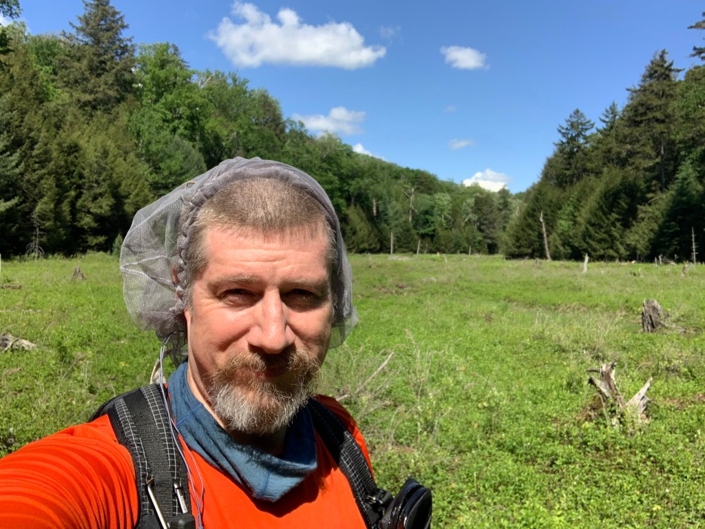
I spent some time up top, until I could not stand the swarm of horse flies, or dear flies, any longer. Then, since I had planned to head over to Sherman Mt. after and the flies were just too annoying, I did a reverse (or back) azimuth, basically setting my compass to the opposite bearing than I headed out with, back to the water crossing.

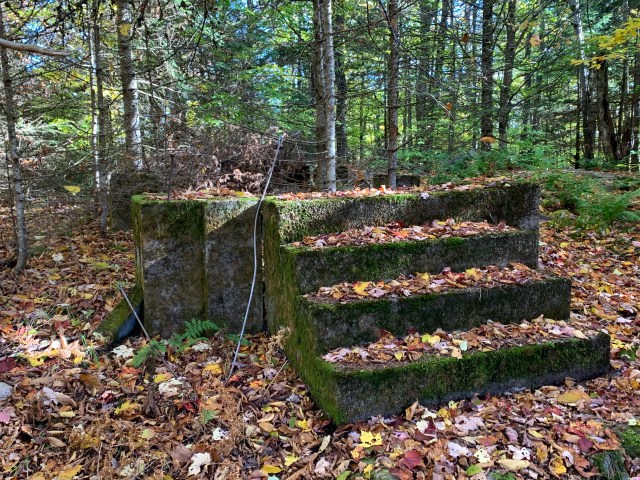
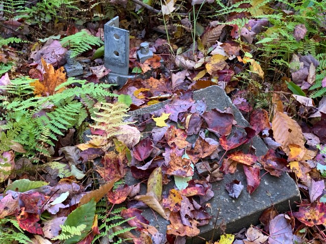
Uneventful, and I ended up exactly where I had entered the bushwhack. At that point I visited the beautiful clearing that the water passes through, and admired the scenery for a time (see pics), then moved on.

As it was early, and I had changed plans by not going over to Sherman Mt., I decided to revisit Chub Mt, a local rock climbing favorite. For its size, it is a wonderful mountain to climb. The numerous rock climbers who visit the mountain have made some beautiful and easy to follow herd paths, that end just short of the summit. The path I took today was right along the top of the wall that they climb, so views of Trout Lake Mt. and Sherman Mt. are plentiful (see pics). A quick up and down, then back to the car.

Trout Lake Mt on the left and Sherman Mt on the right. from Chub Mt.

The total mileage of today’s adventure was 5.6 miles, with a 2.4 mile bushwhack. On this beautiful day, it was perfect … except for the flies!!! … and a nice soul boost.

While I would only recommend bushwhacking to experienced backcountry adventurers, going out to the backcountry on marked and groomed trails can be very refreshing. Still, even on a short adventure, always make sure that you have the “10 essentials” in your pack, just google it, and someone who knows where you are going.

Even on today’s short outing, I had everything I needed in my chest pack, and in my 20 liter backpack was everything I would need to survive a night in the woods in the event of an emergency. Thankfully, I was able to enjoy a cold drink and a candy bar when I got back to my Jeep!

Get out there! There is so much to explore!

Be well. Shalom.

Trails-less Traveled – 1

Chub Lake, Arietta, NY.

The trails-less traveled series will focus on trail-less, unmaintained, or lesser traveled trails, mountains, and destinations in the Adirondack Park.

Hike Date: October 9, 2020.

Tomany Mountain.

Trailhead parking on Rt. 10. Enter the trail across the road, about 10ft. from the guardrail, it is not marked, see below.
Entry point for the trail, it will be obvious as you get closer.

Location: Rt. 10, Hamilton County, NY.
ADK Location: Ferris Lake Wild Forest
Roundtrip milage: 3.9 +/-
Elevation: 2589ft.
Elevation gain: 1150ft.

I have driven by this trailhead parking area dozens of times, but never knew what trail originated there. Map out. Tomany Mt. The trail up Tomany Mt. has not been maintained officially since the late 1980’s, most likely ending with the decommissioning of the fire tower that once stood on top of this mountain. The tower was disassembled in 1987. The trail follows, roughly, a line of old telephone poles, with some very old DEC foot trail markers. While not maintained officially, some kind hiker(s) has marked the trail with orange, or orange and black, surveyors tape. At points you can lose these markers, or they have fallen off, specifically about .3 from the summit. The trail has some blowdown, but not too bad. As you follow the trail, which takes you slightly around the summit, you will end up by the foundation for the old observers cabin. See pics below.

Overall, it is an enjoyable hike. Nothing too strenuous, but as always, be prepared for entering the ADK backcountry.

Features

Observers cabin foundation, with steps.
A well-pump head laying on the ground.
The footings for the fire tower.
The disregarded remains of the fire tower.

While this is a short trail, being technically trail-less, it will require some bushwhacking skills, along with a map and compass to be safe. Do not overlook this gem of the southern Adirondacks. While there are limited views, apart from winter, it is a beautiful and historic place to visit.

An example of the surveyors tape, and telephone pole found along the trail.
About .5 in where the Tomany Mt. trail crosses the snowmobile trail.
Steps to the observers cabin.
One of the footers for the tower, located about 100ft. from the observers cabin foundation.
Another view of the fire tower footings.
The remains of the fire tower.
Old footpath marker.
Old footpath marker on one of the telephone poles.
Well-pump from the observers cabin.
A nicer section of the trail. The trail is easy to follow for most of the trek in.
Taking in the scenery, and reflecting on Tomany Mt. from the stairs of the observers cabin.

Chub Lake Mountain

Location: Arietta, Rt. 10, Hamilton County, NY.
ADK Location: Silver Lake Wilderness
Roundtrip milage: 2.1 +/-
Elevation: 2109ft.
Elevation gain: 500ft +/-.

Another trailhead parking area that I’ve wondered about for some time. Again to the map. Unlike Tomany Mt., Chub Lake Mt. has no trail, but three different trails leading to it. From where you park, it will seem obvious that you enter the woods directly off the parking area. At this entry point, there is a trail on the left that will take you to Chub Lake, about .2 of a mile. If, from your vehicle, you walk towards the woods just to the left of the guardrail, a trail begins there that will take you to a marked campsite, the other trail ends up in the campsite as well. Through the campsite you will head toward the lake, and then across a marshy area to the base of Chub Lake Mt. From this point it is a bushwhack to the summit. It is not a difficult climb, but, like any bushwhack, it will take a bit longer than expected as you navigate your way up and down. Please take a bearing to be safe, and have your map with you.

Features.

The features on Chub Lake Mt. are the rock walls used by rock climbers, and some nice rock outcroppings that you come across on the way up. There is no view from the summit, but a couple of nice lookouts as you walk around before heading down. It is a beautiful, and quiet area.

A view from the marshy area at the base of Chub Lake Mt.
A nice view from just above the cliffs of Chub Lake Mt, looking to Trout Lake Mt. if I recall correctly.
A view of Chub Lake Mt. from the roadside of Rt. 10 in Arietta, NY.

Overall, it is an enjoyable hike. Nothing too strenuous, but as always, be prepared for entering the ADK backcountry.

While neither of these trails will lure summit seekers looking for great views, if you enjoy hiking, bushwhacking, and historical locations, these two mountains are awesome. Route 10 is often overlooked, but it has some of the best hiking, camping, and kayaking points in the ADK.

Enjoy, and safe hiking!